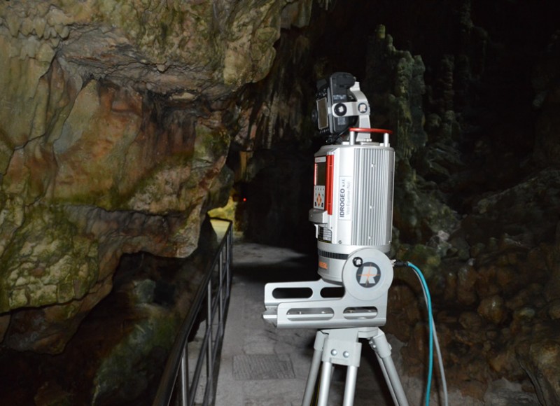
Laser scanner survey
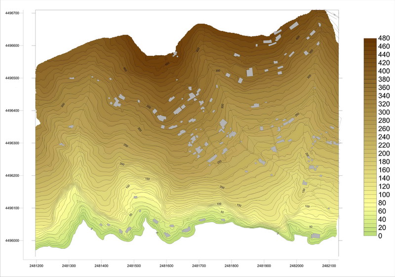
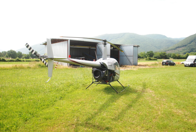
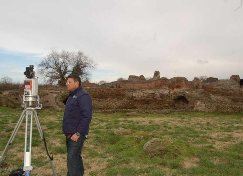
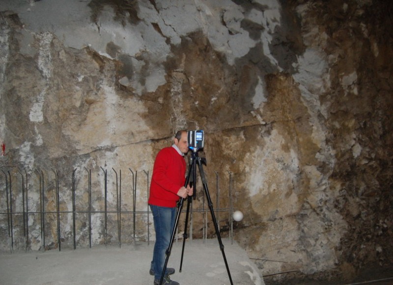
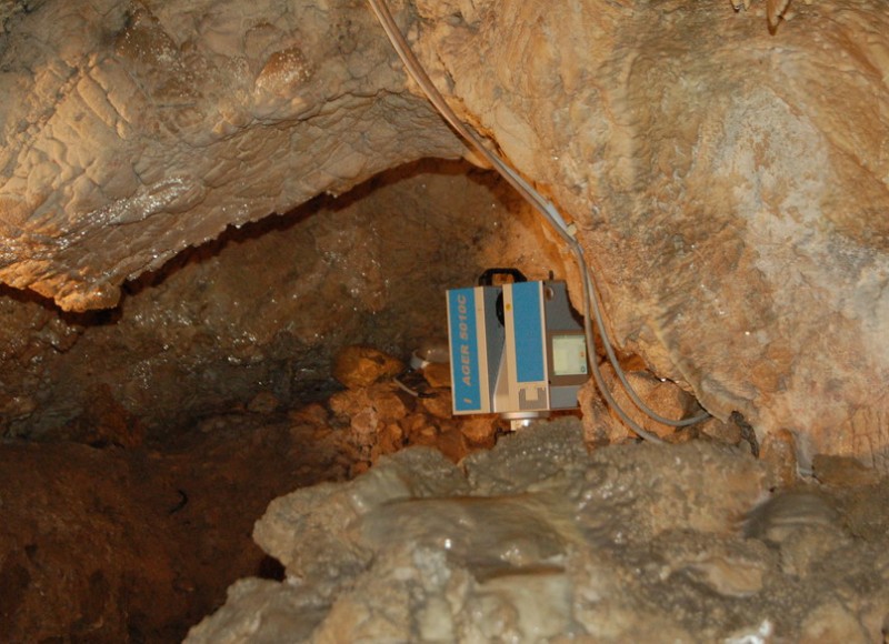
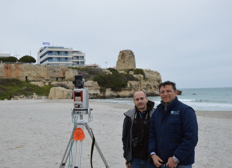
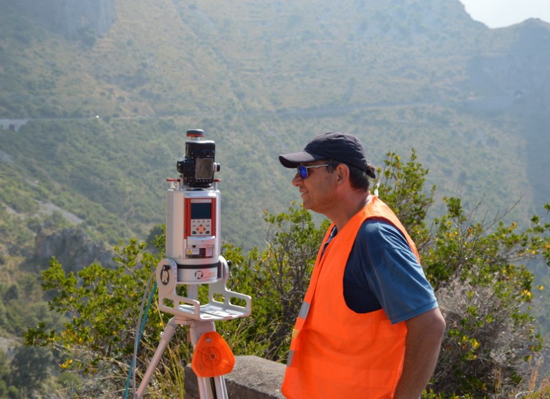
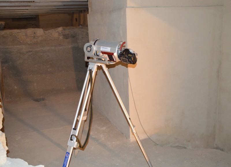
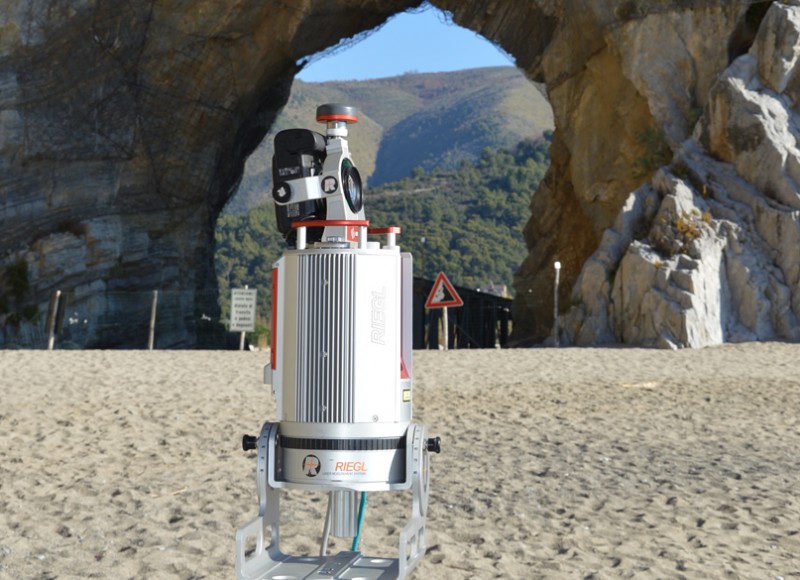
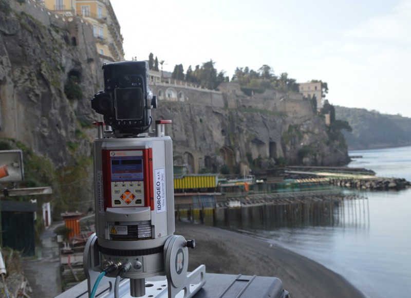
IdroGeo S.r.l. performs topographic surveys with high-tech equipment, such as a 3D laser scanner, which is able to acquire and process three-dimensional models of the territory and the structures/infrastructure that stand thereon.
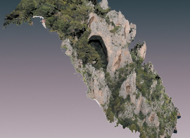
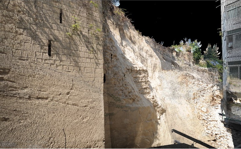
3D Terrestrial Laser Scanning is a topographic technique that enables the acquisition of the 3D point clouds of the surveyed area, in a very short time. The result of a scan is, therefore, an xyz coordinate point cloud that can be viewed directly on a PC monitor as a “three-dimensional photograph.” A point cloud consists of millions of points that provide a detailed representation of the surface of the object detected from which extremely detailed geometric and colorimetric information can be obtained.
The range of action of these instruments can vary from a few decimeters to several kilometers, with very small margins of error and so the laser scanner is used in the surveying of large and medium-sized objects and in multiple applications
Over recent years, IdroGeo S.r.l. has acquired specialist experience in the field of three-dimensional digital surveys, acquiring information for:
- the studyandcataloging of architecturalandarchaeological property;
- the studyofengineering structures;
- the studyof rock slopes (natural and artificial) andunderground cavities.
Over recent years the IdroGeo S.r.l. has been committed to the development of innovative geomatics terrestrial laser scanning survey techniques for the investigation of slopes over their full extension. This technique enables the integration of geomechanical surveys (carried out using traditional manual techniques) with geostructural processing and analyzing made using point cloud laser scanning. This approach reduces the costs of the investigation to be carried out by geological rock climbers and, at the same time, data can be acquired for the whole cliff, with an obvious advantage for the dimensioning of the consolidation work.
Moreover, thanks to the experience of its professionals and their constant updating, the company is committed to the development of procedures that can “transform” the point clouds into virtual and augmented reality.

