Aerial Digital Photogrammetric Survey
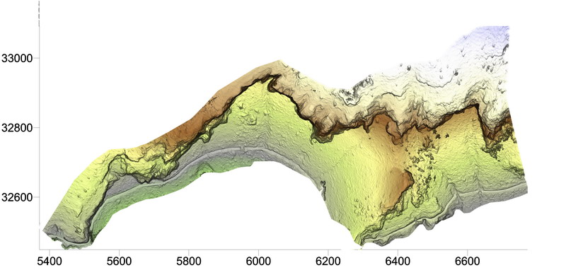
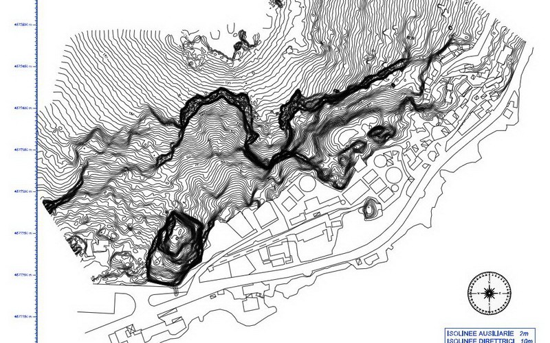
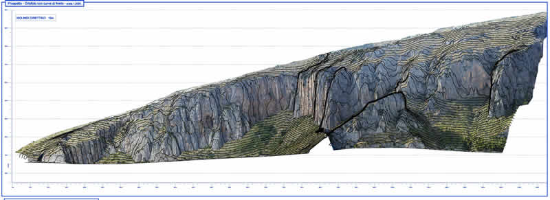
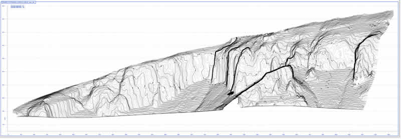
IdroGeo S.r.l. performs topographic surveys with high-tech equipment, such as the Aerial Digital Photogrammetric Survey, which can acquire and process three-dimensional models of the territory and structures/infrastructure that stand thereon.
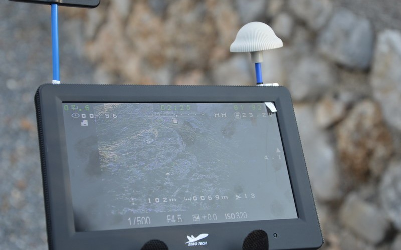
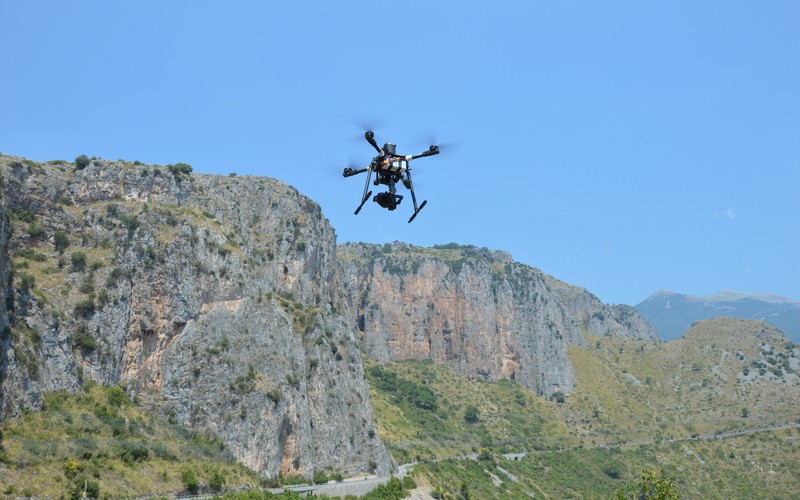
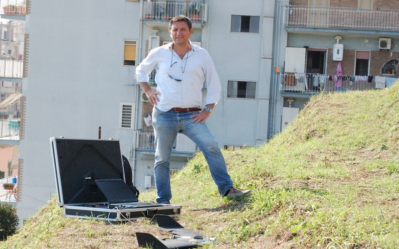
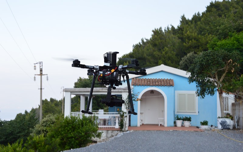
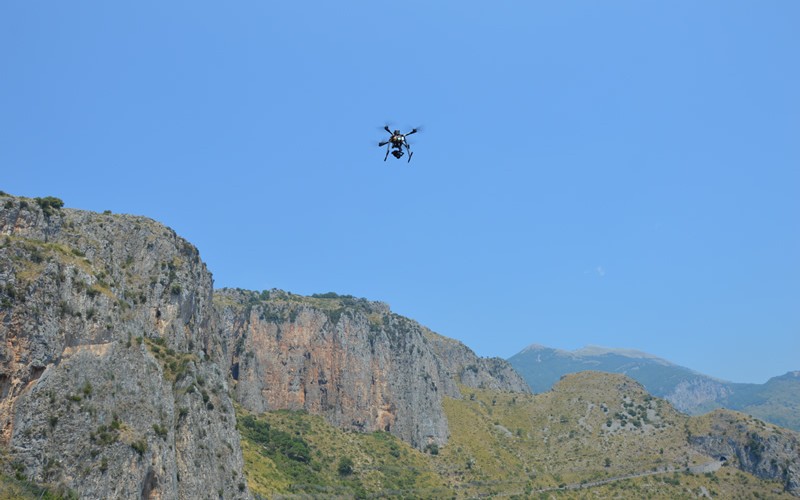
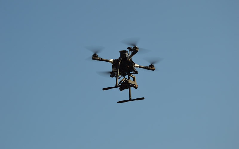
The Aerial Digital Photogrammetric Survey enables a 3D survey of portions of inaccessible land to be made. The UAV (Unmanned Aerial Vehicle) instrumentation used is a multicopter drone with calibrated camera. Once the flight plan has been established, depending on the survey to be undertaken and on the morphology of the area, the camera takes a series of shots. The altitude is measured by a barometric sensor. The orientation to the North, is determined using a three-axis magnetometer. Finally, a GPS receives and processes satellite data, as well as the compensation data of the EGNOS European system. Such technology is very important because it allows us to survey areas that cannot be reached by other means.
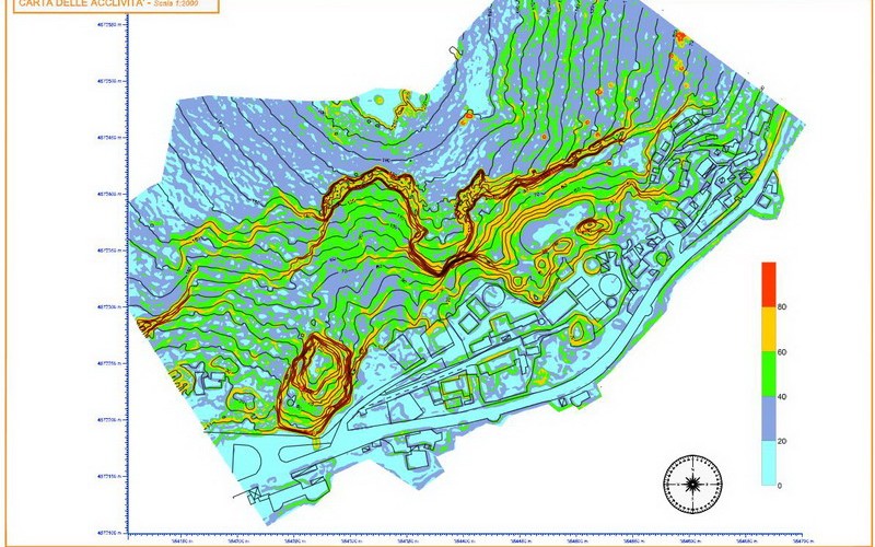
Photogrammetry enables the acquisition of numerical and thematic data for the detection of metric information (size and shape) of three-dimensional objects by photographic images.
The advantages of such a detection technique are:
- its ability to make a continuous profile (rather than a puntual one) of reality;
- that, thanks to the use of the photographic camera, it is not dependent on a predetermined position;
- that it relies on a collimation of the measurements of stereoscopic and not monoscopic points; that is to say, it is three-dimensional, similar to human vision.
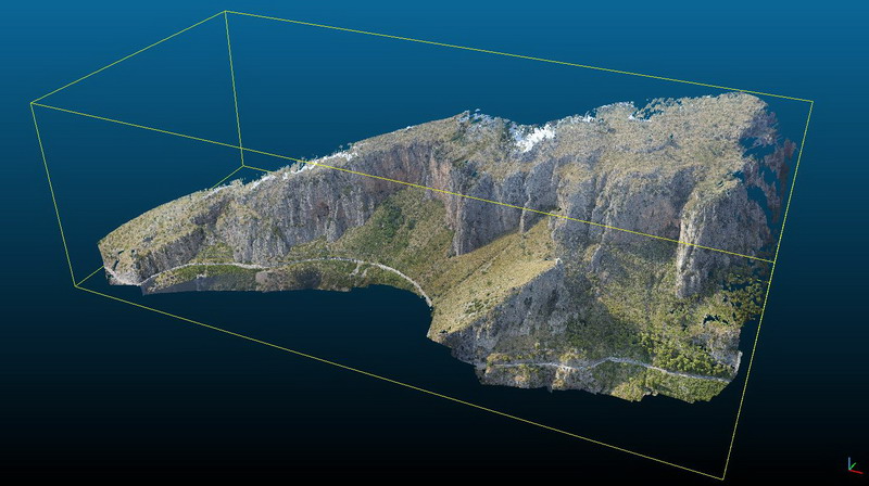
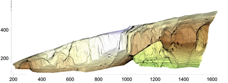
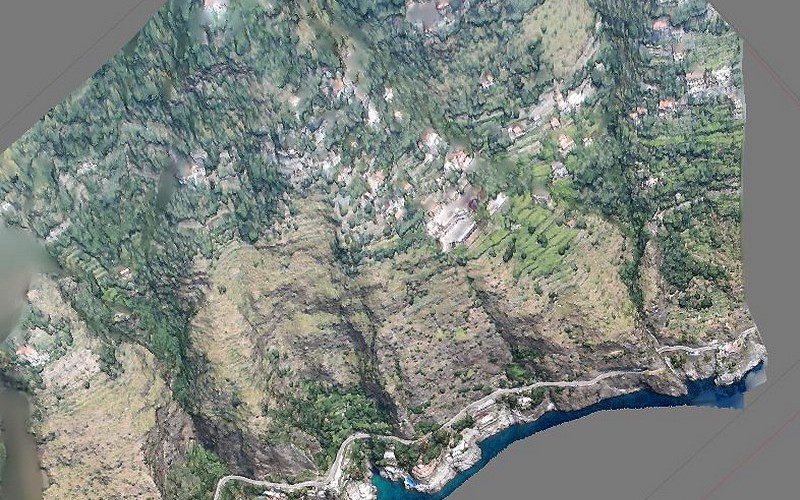
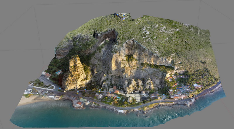
The Aerial Digital Photogrammetric Survey provides a 3D model of the object consisting of millions of points, each characterizedbythree space coordinatesand by information relating to colour, so that the actualnumerical modelisrepresented by a textured pont cloud.
Multirotor aerial robots also mean that we can carry out inspections of inaccessible areas (landslide areas, unstable buildings, infrastructure damaged by natural events, etc.). In this case, they are equipped with a high definition camera. The images recorded by the drone are examined and the risk levels of the area are identified and, if necessary, emergency operations are drawn up in preparation.

