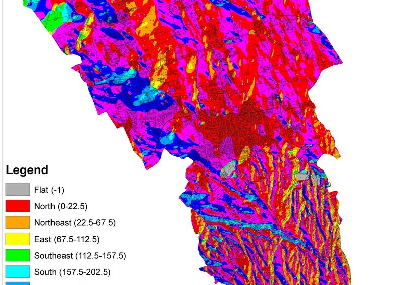
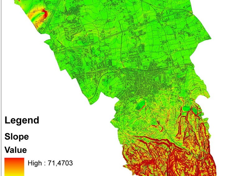
Territorial studies of large areas
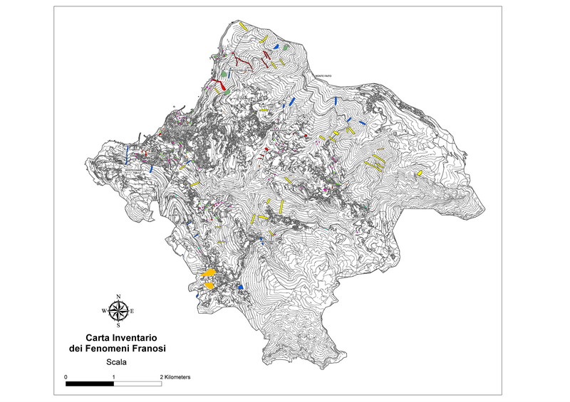
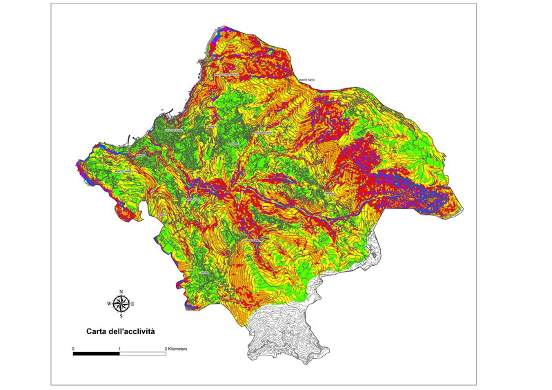
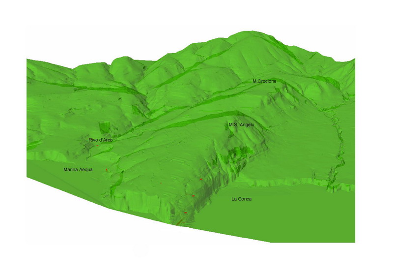
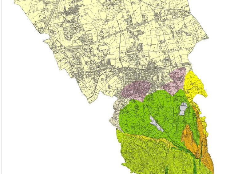
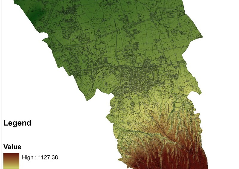
IdroGeo S.r.l. has many applications in the studies of large areas, aimed at spatial planning for the preservation, protection and improvement of soil resources (geological risk from landslide, hydraulic risk, coastal erosion risk, risk related to the pollution of aquifers, etc.), with the help of GIS (Geographic Information System).
A geographic information system (GIS) integrates hardware, software, and data to capture, manage, analyze and display all forms of geographically referenced information.
The acquired data are rendered in vectorial terms through the use of specific software, while their digitization enables greater flexibility of updating and better use of the knowledge acquired than traditional data management systems.
The creation of a database means that a great deal of data can be manged quickly and in combination.
Another benefit of the GIS System is its ability to manage and analyze spatial data by associating geographic elements to one or more alphanumeric descriptions, and to store the position of the data using a projection system that defines the real location of the object, through the use of various projection and reference systems (eg. UTM or Gauss Boaga).
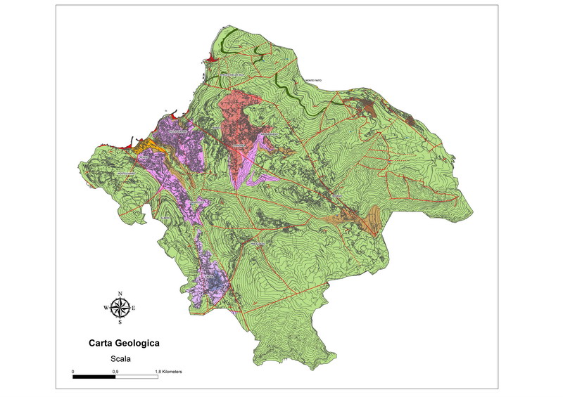
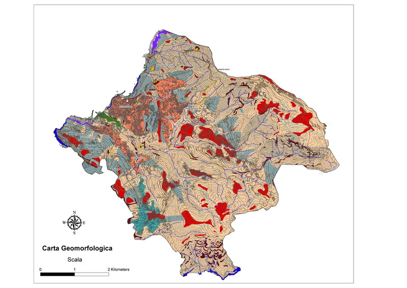
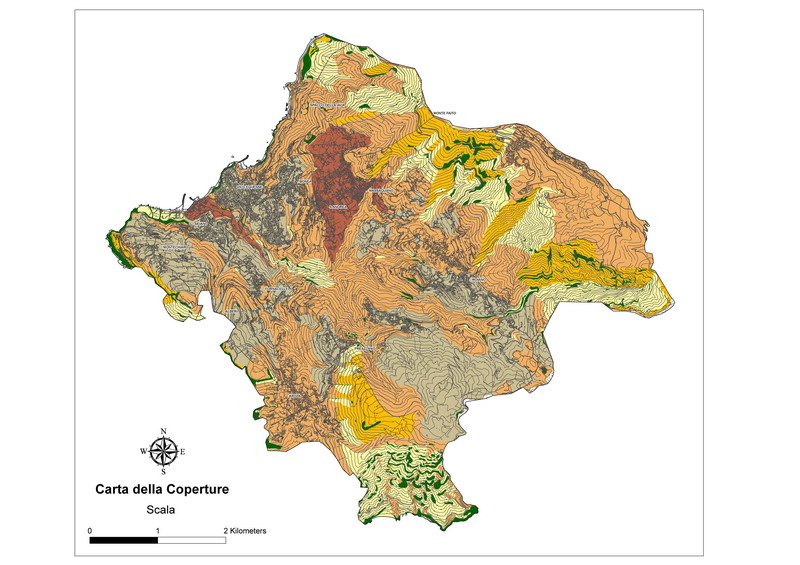
The study of “vast areas” in a GIS environment is particularly suitable in the preparation of maps for spatial planning, such as geological, hydrogeological, geomorphological maps, etc.. This system offers the possibility to compare various data on the basis of their common geographical reference, in order to create new information from the combination of existing data (topological overlay).
Moreover, thanks to the use of specific algorithms, IdroGeo S.r.l. is able to produce numerical maps for the definition of the safety coefficients of the slopes in the landslide (geotechnical testing on infinite slopes, Romana classification, kinematic determination in rock fall using the Goodman and Shi method, etc).

