Geotechnical and structural monitoring
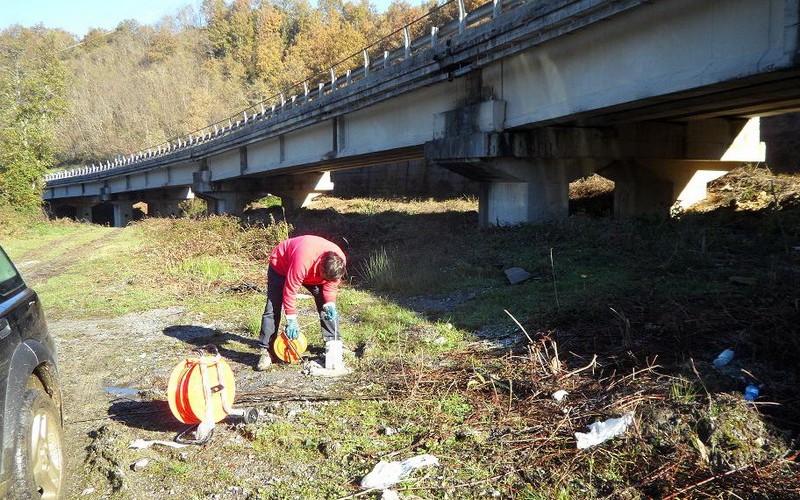
Instrumental monitoring involves making repeated measurements over time of physical quantities such as displacement, velocity, acceleration, frequencies, etc., using specific tools; this is done in order to monitor the study area and/or the works (structures and infrastructures) that stand thereon.
In addition, monitoring provides valid support in the field of defense works against geo-environmental risks (such as landslides, earthquakes and subsidence). It enables intervention at the design phase (definition of the geotechnical underground model), construction phase (monitoring the construction and verification of the models used) and management phase (monitoring the effectiveness of the work in time) of the work, as well as during the phase of alert and risk alarm.
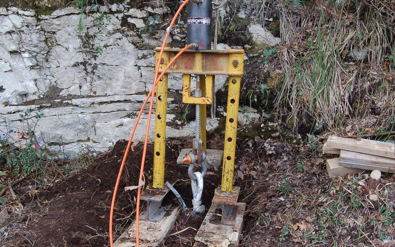
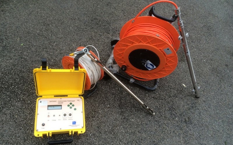
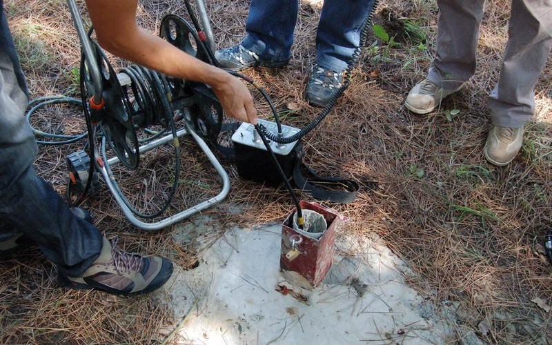
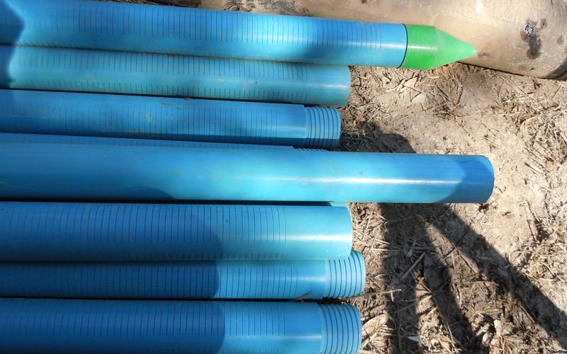
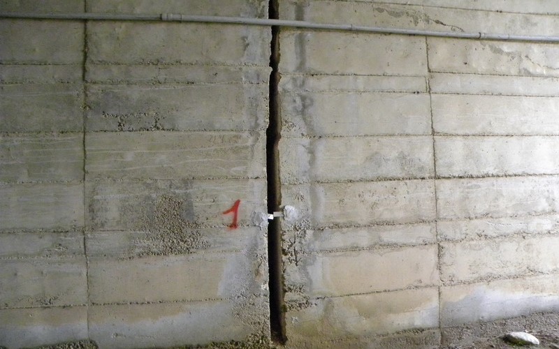
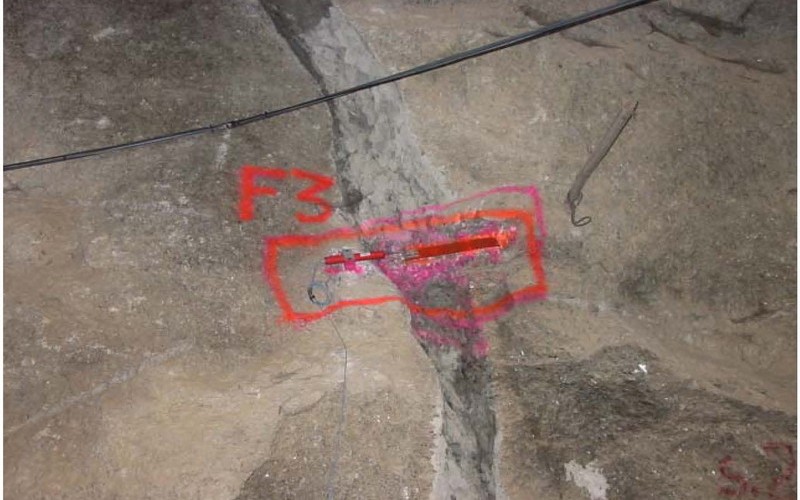
For geotechnical and structural monitoring, IdroGeo uses tools such as wire strain gauges, inclinometers, piezometers, time of flight and phase difference laser scanners, total stations, GPS, vibrometers, fiber optic instruments, target surveying and optical targets, etc.
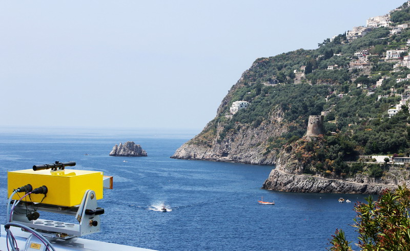
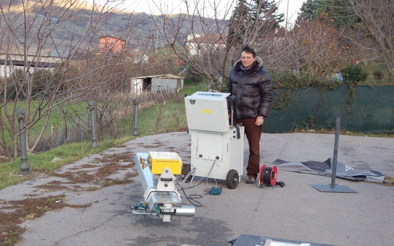
IdroGeo is currently engaged in using and developing new high-tech equipment (terrestrial SAR interferometer and laser scanner) which can record, to a high level of accuracy, the displacement and the speed to which portions of land, structure, infrastructure, etc. are subject.
The terrestrial SAR interferometer, in particular, is an innovative technique for monitoring landslide deformation, rock slopes, volcanoes, historic buildings and engineering works. This technique enables the continuous generation (both day and night and in all weather conditions) of 2D maps showing the displacements of the structure surveyed. This can be done entirely remotely (ie. without the need to install sensors or targets). It is, therefore, a useful tool for monitoring real-time alerts. The terrestrial interferometric technique can be also used for the analysis of the vibrations of structures, buildings and artefacts.


