Geognostic investigation
IdroGeo S.r.l. has a proven track record in the field of geological surveys, both direct (surveys, geotechnical testing on site, etc.) and indirect (geoseismic, geoelectric, etc.), aimed at identifying the geological and geotechnical, hydrogeological and seismic model of the subsoil.
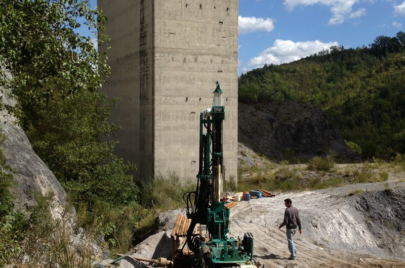
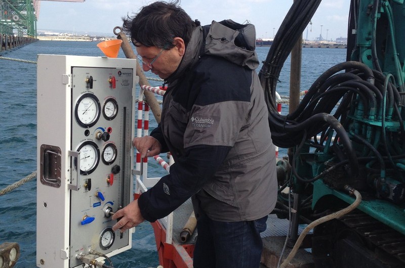
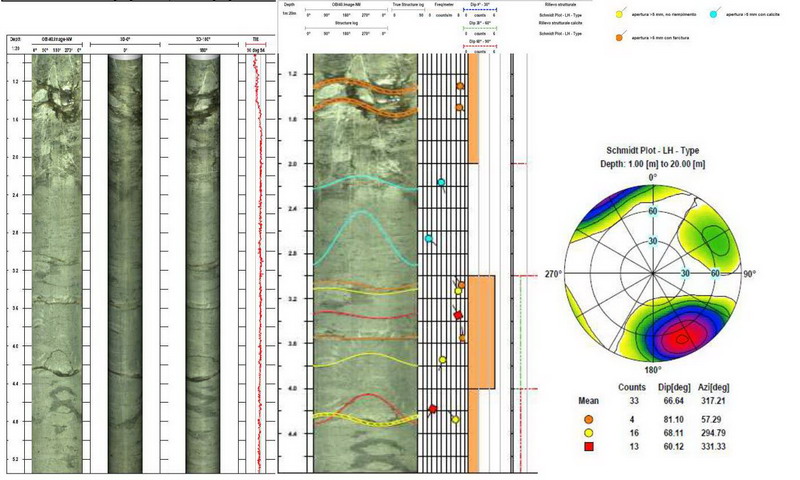
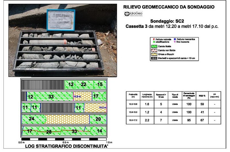
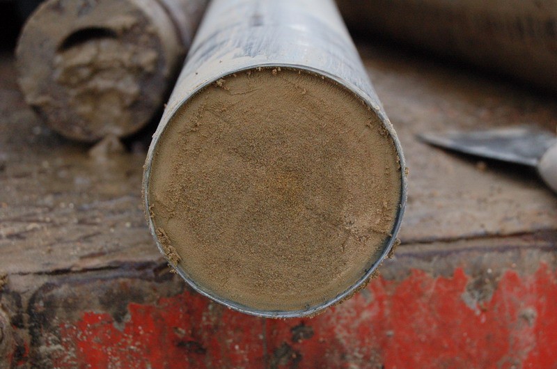
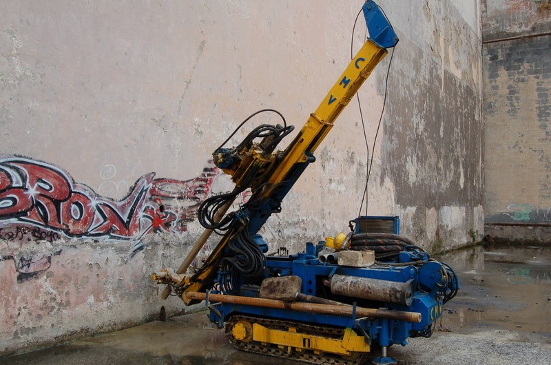
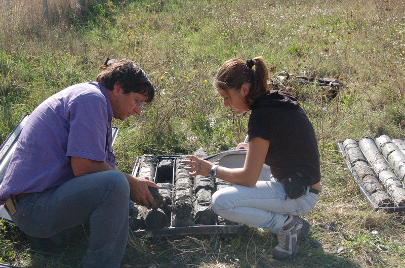
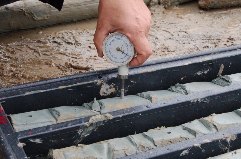
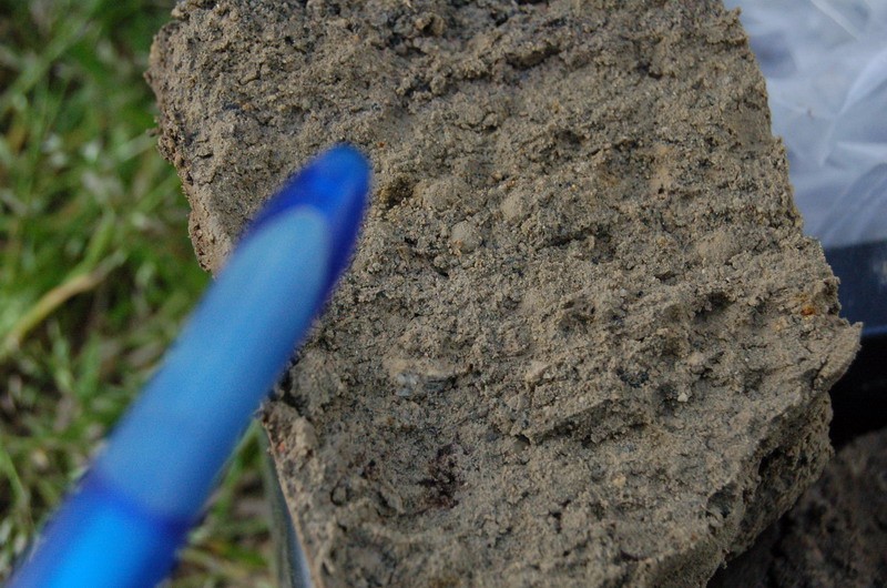
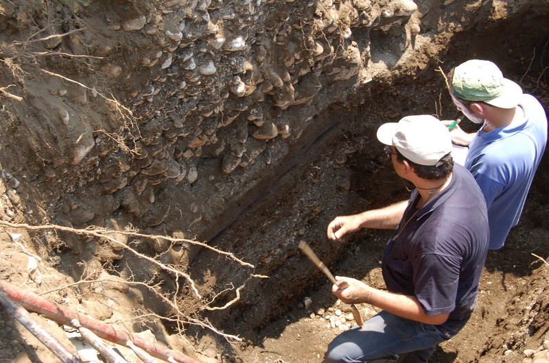
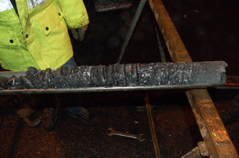
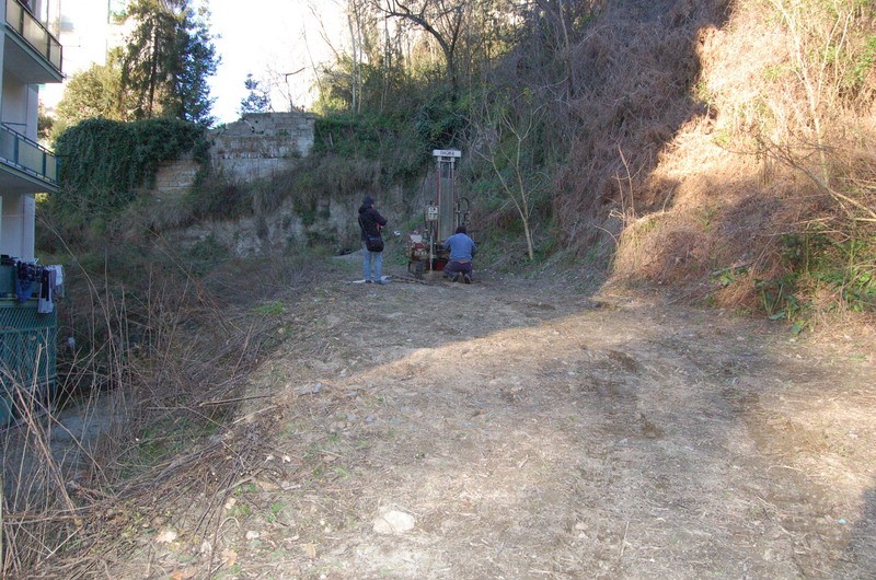
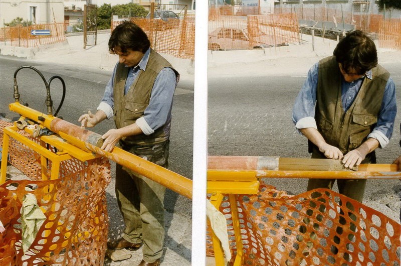
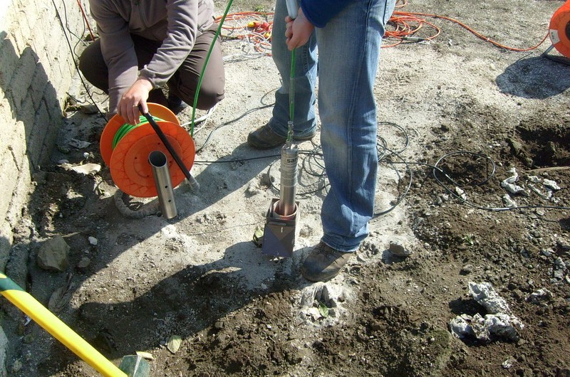
Through direct investigation, litho-stratigraphic succession can be identified at depths of engineering interest, along with the geotechnical characteristics of the subsoil through the implementation of drilling and the monitoring of geological-geotechnical parameters that can affect the works-soil system (pore-water pressures, sagging, shifting along sliding surface of landslides, etc.). Direct surveys (stratigraphic, geotechnical and geomechanical surveys), carried out through drilling, allow carrots and undisturbed samples of soil and rock to be extracted for geotechnical laboratory tests; at the same time, the holes may be used for monitoring activities and for seismic testing.
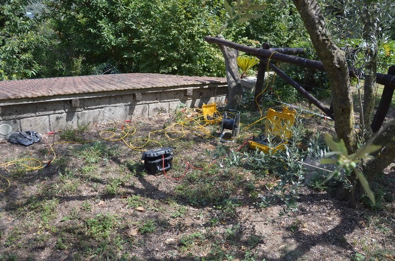
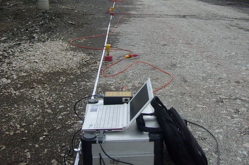
Geophysical surveys are modern investigation techniques involving the systematic collection of geophysical data for spatial studies. Geophysical surveys may use a wide variety of sensing instruments and data may be collected from above or below the Earth’s surface. Geophysical surveys have many applications (geology, hydrogeology, engineering, instability of the subsoil, seismology, archeology, etc.).
Furthermore, this type of investigation offers many advantages, such as the opportunity to study not only areas of considerable size, but also limited ones, to a high level of detail, quickly and at low cost. Moreover, as the surveys are non-invasive, they offer minimal risk to workers in hazardous environments (for example in the investigation of polluted sites) and minimal disturbance of surface and ground, facilitating the work in urban areas, areas of natural beauty or archaeological environments.
The analysis and comparison of the data acquired with direct and indirect evidence type geophysical surveys mean that a detailed modelling of the ground and its geological, environmental and seismic parameters can be made, providing all knowledge necessary for design and planning. Indeed, a land model defined in all its components makes for better design, the building of higher performance structures and, above all, savings in the realization of the works in terms of time and cost.
IdroGeo S.r.l.’s experienced exploration consultants are able to carry out, audit, review and advise on investigation procedures and data processing and to work on various types of land and structures according to the laws in force. Idrogeo is also able to provide a rapid evaluation and planning of research programs as regards scope, timing and available budget.
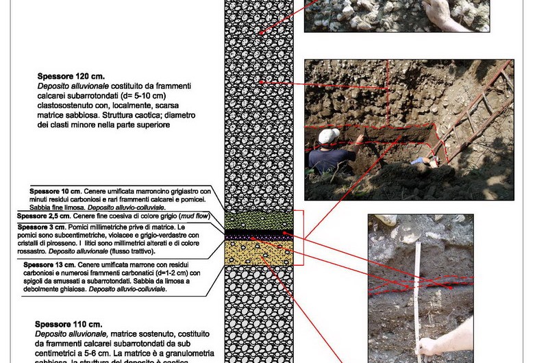
The carrying out and supervision of drilling, trench construction and on-site geotechnical testing etc. is made possible by the professionalism and skill of our staff. The acquired data is made available through technical reports and graphical representations in both detailed and simplified versions, depending on the purpose of the investigation, meaning that the information can be read and understood by a number of professional figures.

