Analysis of hydrogeological risk
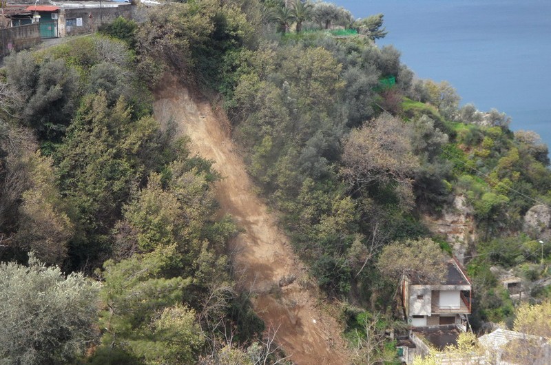
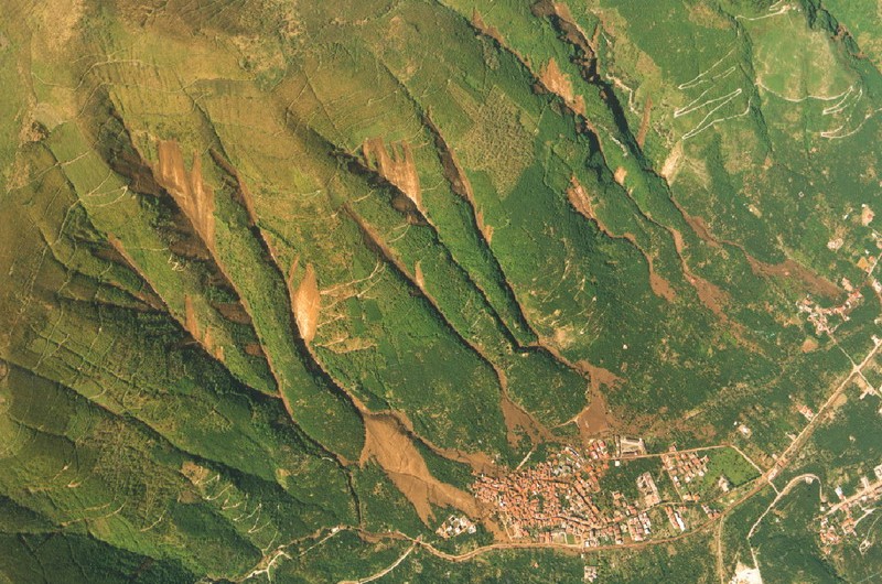
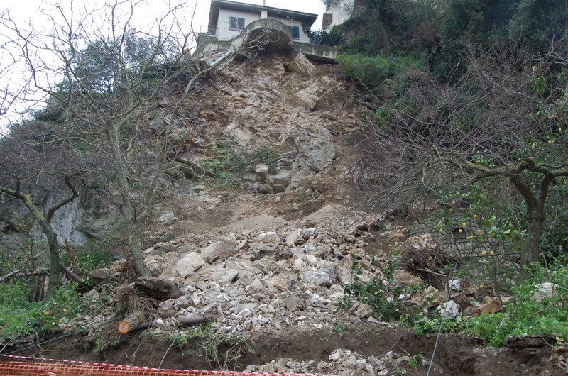
The landslide hazard assessment of a slope is based on a criterion of overlay mapping, each map containing a different attribute (exposure, acclivity, landslide type, lithology, source, etc.). The combination of the data, based on the use of GIS (Geographic Information System), allows us to draw up a final hazard map that highlights the predisposing factors of landslides, the location and delimitation of areas most at risk, the instability type and, consequently, the type of intervention needed in order to mitigate risk.
In addition, a study of areas exposed to natural hazards is carried out, not only on on the basis of field surveys, but also through analysis, numerical modelling and monitoring of instability phenomena.
In addition to morphological analysis (qualitative and semi-quantitative), IdroGeo S.r.l. has also developed a high level of competence in slope instability modelling (geotechnical testing).
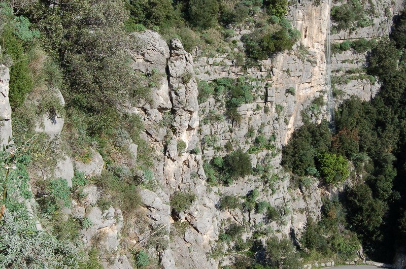
In order to do so, we use the latest computational tools, with which stability tests using the limit equilibrium method and finite element and distinct analyses, can be carried out. For the perimeter of invasion areas, special software is used, which can simulate rockfall in 2D and 3D as well as hyper-concentrated flow propagation.
These analyzes are an essential element in the forecast and prevention of hydrogeological hazard and in the correct dimensioning and positioning of consolidation and / or risk mitigation works.
The competence of IdroGeo’s professionals is demonstrated by their participation in the drafting of territorial plans, design of consolidation work and advice given on this matter to both private companies and public institutions.

